Sign up for the Family Tree Newsletter! Plus, you’ll receive our 10 Essential Genealogy Research Forms PDF as a special thank you.
Get Your Free Genealogy Forms
"*" indicates required fields
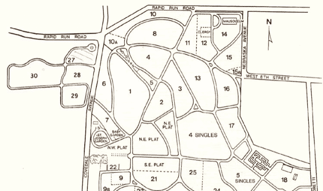
Curious what your ancestor’s hometown looked like? You’re in luck, because a group of government records specifically document land ownership. Governments create plat maps (also called cadastral maps or survey plats) to define and account for parcels of land. These maps—such as this 1930 one, from Lee County, Iowa—depict one unit of land (such as a township) and all of the plots within it. They also typically divide the land into standard administrative units for record-keeping purposes.
Like other historical maps, plat maps give genealogists a detailed snapshot of a community at a given time. They’re often labeled with landowners’ names, pointing to deeds and other land records. Other details might include the square footage for a plot, the crop grown or number of dwellings constructed on a plot. All of these, in turn, can indicate your ancestor’s economic status.
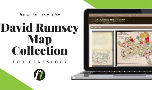
Plat maps weren’t uniformly created, making them somewhat more difficult to find than other kinds of maps. The Bureau of Land Management, the federal body in charge of public land surveys, has digitized surveys and plat maps for several states, but the collection’s coverage is spotty. The David Rumsey Map Collection, Historic Mapworks and the Library of Congress collection offer some plat maps. Plat maps often serve as the basis for county atlases, meaning atlases (available at libraries and archives) similar resources. A Google search for plat map and the name of your ancestor’s town, township, county or state should turn up links to resources.
A version of this article originally appeared in the May/June 2016 issue of Family Tree Magazine.


