Sign up for the Family Tree Newsletter! Plus, you’ll receive our 10 Essential Genealogy Research Forms PDF as a special thank you.
Get Your Free Genealogy Forms
"*" indicates required fields

These nine websites contain some of the best resources for finding maps online.
Bureau of Land Management General Land Office Records
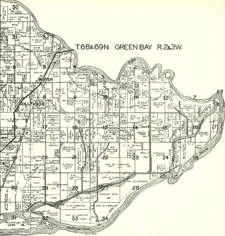
The home of more than 3 million federal land title records for Eastern public-land states (1820 to 1908) keeps getting better. The bureau is now adding field notes from the original surveyors, which may include the names of settlers living in the area, along with images of land warrants issued as a reward for military service. Images related to survey plats and field notes, dating to 1810, are also coming online as each state’s documents are completed.
eHistory
With hundreds of fully searchable historical maps online, this site is strongest on the Civil War.
Getty Thesaurus of Geographic Names Online
Not just a gazetteer of current places, this searchable database of more than 1.1 million locales also includes historical spots around the world.
Google Earth
Unquestionably the coolest way to map your ancestors, Google Earth lets you “fly” across the planet to view satellite imagery, maps, terrain, 3-D buildings and historical imagery. You can save your toured places, share with others and (with some tech know-how) combine your data with the site’s geographical info in a “mashup.”
Historic Map Works
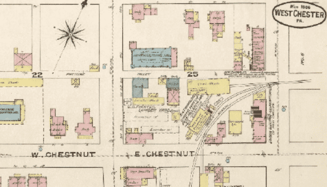
Another site you’ll need to persuade your library to buy into, ProQuest’s collection of digital maps features more than 200,000 high-resolution, full-color historical maps. These include property maps from the late 1700s to the present and antiquarian maps from the 15th to 19th centuries, plus city directories. There is also a version of Historical Map Works aimed at individual subscribers.
Ordnance Survey: Get-a-Map
Search for small-scale, high-detail maps (up to 1:25,000 scale) of anywhere in the United Kingdom simply by entering the place name, full postal code or National Grid reference, then print the maps or copy for use on your genealogy website.
The Oregon Trail
If your family was among the 300,000 pioneers who headed West along the Oregon Trail, you can retrace their migration on this lovely educational site.
Perry-Castañeda Map Collection
Need a map of the British Isles in 1603 or Dublin, Ireland, in 1610? How about a map of France in 1791? Or Cincinnati in 1880, Dodge City in 1920 or New York City in 1642? You’ll find all of these—and plenty more—in this vast collection, courtesy of the University of Texas library.
US Geological Survey
If you can’t find and map your ancestral stomping grounds with the array of tools assembled at this website, the place probably never existed. Buy or download current maps, topographic maps dating back to 1882 and aerial and satellite images. You also can look up places past and present in the National Atlas or Geographic Names Information System (GNIS), then plot and customize them on the National Map.


