AniMap Plus
This Windows program solves two common problems: not being able to find an old town and keeping track of changing boundaries.
AniMap Plus displays state and territorial borders since 1776 on US maps; state maps show county boundaries from Colonial days to the present. Once you pick a state, the program generates a map showing the original county lines, along with a text box listing the counties’ names. On the right side of the screen is a menu of years in which borders shifted. For example, click on New York and you’ll see a map of the 12 original counties, along with a text listing. If you double-click 1764, the text box tells you that New York was awarded jurisdiction over Vermont that year, and the map reflects that change. A click on 1784 will show that Charlotte County was renamed Washington. It’s easy to track backwards and figure out which “parent” county likely holds your ancestors’ records.
The $79 software has a fun feature called Run, which rolls through any state’s boundary changes like a mini-movie. Just hit the Run button to start the animation, and then press Stop when you find something you want to look at more closely. You can also play the animation backwards. One of my favorite features in AniMap Plus is Place Maker — it allows you to mark and label up to 50 places on a map, then change the year to see if the places remain within the same county. This is a great convenience if you’re researching in a town that seemed to switch counties every few years.
AniMap Plus prints maps in color or black and white; you can also create year-to-year overlays and export maps to image-editing software for further enhancements.
Along with the mapping software, you’ll get the bonus Sitefinder, a compilation of 200,000 places that includes 35,000 variant names. It lists the place name, its county and the longitude and latitude. Using the Pluck function, you can locate a now nonexistent village and drop it onto a state map. A companion database gives the locations of 100,000 US cemeteries. Sitefinder is available as a separate program for $35. You can download free trial versions of both programs at Goldbug’s Web site.
Deed Mapper
If you’re researching land records from a metes-and-bounds state, let DeedMapper take the work out of plotting old boundaries. This platting program converts those “pine tree to the creek” land descriptions often used by state-land states (including the 13 original states) into land-ownership maps drawn in USGS topographic-map scales.
Anyone who’s done land research knows family relationships are sometimes proved through land transactions. DeedMapper helps you grasp those connections by plotting the entire neighborhood. At a glance, you can see who bought and sold each parcel.
To use the software, just type in the metes-and-bounds land description and the software will map it. You can choose three different views: Text is for deed entry, Plot displays the map, and Table gives a list of land transactions. Click any Table item to show the transaction type (dower or deed, for example), the parties involved, the price and a legal description.
In Plot view, you can right-click and choose Display Corners to see the selected parcel’s corner descriptions (“poplar, two beeches, black gum, white oak,” for instance). You can also limit which deeds the program displays to land owners in a particular year, a specific person’s property or other parameters.
The text-annotation option lets you add names to streams and other landmarks. You can print out your maps on regular paper — or try printing on a transparency and then overlaying your map onto a USGS topographic map.
Whether you’re new to the software or land-record research in general, you’ll find some helpful resources on DeedMapper’s Web site. The Land Reference section provides background on land transactions and terminology. A Research Directory helps you team up with others researching land records in the same area as you. And you can download fellow users’ map files from the Deed Data Pool.
GenMap UK
<ourworld.compuserve.com/homepages/steve_archer/genmap01.htm>
Researchers with English, Irish, Scottish or Welsh ancestors have a mapping program all their own: GenMap UK, a program that creates maps of the British Isles based on your genealogical data. It’s a nifty tool for producing migration or distribution maps.
Using a built-in gazetteer, GenMap UK locates place names within the events section of a GEDCOM or dBase III (DBF) file. Then it maps them using one of two display styles. The dot-distribution style shows locations as dots of different sizes and colors. The settings are customizable — for example, you can specify a different color for events that occurred within a specific date range. Large dots mean more events took place in that locality; smaller dots mean fewer. The county-floodfill maps color each county according to the number of events that occurred there. You can label the total number of events in each county to quickly see where the most genealogical events took place.
GenMap UK has a nice zoom-in feature that takes the user down to a 25-kilometer (roughly 15-mile) area. You can add place names to the program’s gazetteer, as well as edit your place names to match the style in the gazetteer (for example, changing St. to Saint). To see this software’s features in action, download the five-minute demo from its Web site.
Historic Map Libraries
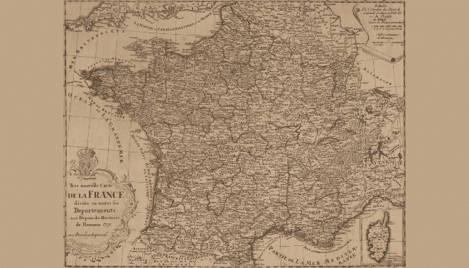
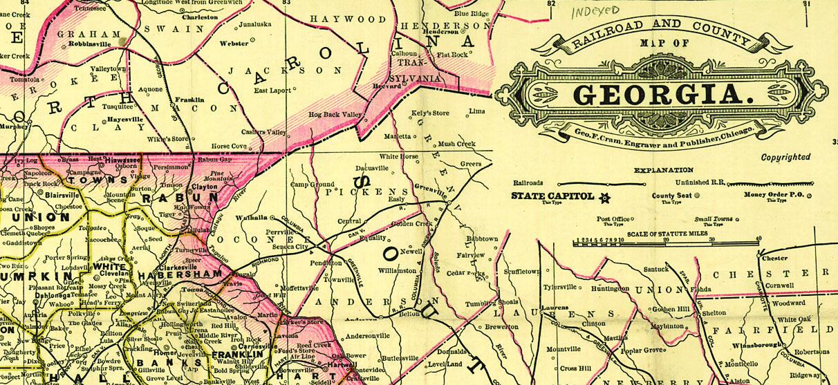
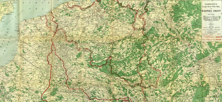
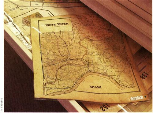
Old maps are great for tracing family migration or locating places that no longer exist. They can also jazz up your family history book, report or Web site. So the Historic Map Libraries from Goldbug, the maker of AniMap Plus, are a great addition to any genealogist’s software library.
Each “library” is a collection of historical maps covering a specific world region. Gold-bug has produced seven collections so far, covering pre-1800 United States and Canada, Europe from 1856 to 1920, the British Isles from 1856 to 1920, North American railroads between 1870 and 1917, the Eastern United States in 1887, the Western United States in 1887 and European boundaries from 300 BC to 1882 AD. Map libraries are shipped on $29.95 CD-ROMs.
You can use up to 10 maps in any one project for free. If you need to use more than 10, just request permission from Goldbug. The software’s readme file contains detailed information on usage limitations. Although you may have seen some of these maps on the Web, Goldbug has digitally enhanced many of them to improve the image and provide as much readable detail as possible.
Each CD-ROM includes ACDSEE, a shareware image viewer that you can use free for 30 days. But you don’t need ACDSEE to see the images — the maps come in bitmap and GIF format, so you can view them in any image-editing program or other compatible software, such as your Web browser.
Microsoft Streets and Trips 2002
<www.microsoft.com/streets/features>
Taking a genealogy vacation? You’ll probably enjoy using Microsoft Streets and Trips (or similar software) to plan your route and mark important places along the way. I tried it out on a recent trip; although I’d already prepared my itinerary, the program’s Route Planner came in handy a few times when I was uncertain about the best secondary road to take. I liked the feature that showed how long each segment of my trip would take based on my driving speed, too.
Because I was traveling in spring — a time notorious for road work — I relied heavily on the program’s construction information. For example, my route from Salt Lake City to Billings, Mont., had three major construction areas. Knowing this ahead of time, I could find ways around them or plan to pass through when crews weren’t working. To use this feature, go to the Streets and Trips Web site and click Update Construction Information; the software will automatically download the most current data.
The program has a lot of user-defined options, such as the length of your travel day, your desired start time, your speed, any stops en route and a choice between the shortest or quickest routes. It also has global-positioning system (GPS) capabilities: You can configure it to download data directly from a GPS unit, or just enter the longitude and latitudes and let the program find it. Then use the Pushpin feature to mark that spot.
From the October 2002 issue of Family Tree Magazine

